How to check
- Open Auckland Council’s page on track closures in the Waitākere Ranges, which links to an open and closed tracks list and an open tracks map.
- Check the date on the list, and check again the day before you go.
- For conservation land outside the regional park, ask the Department of Conservation.
What the closures are about
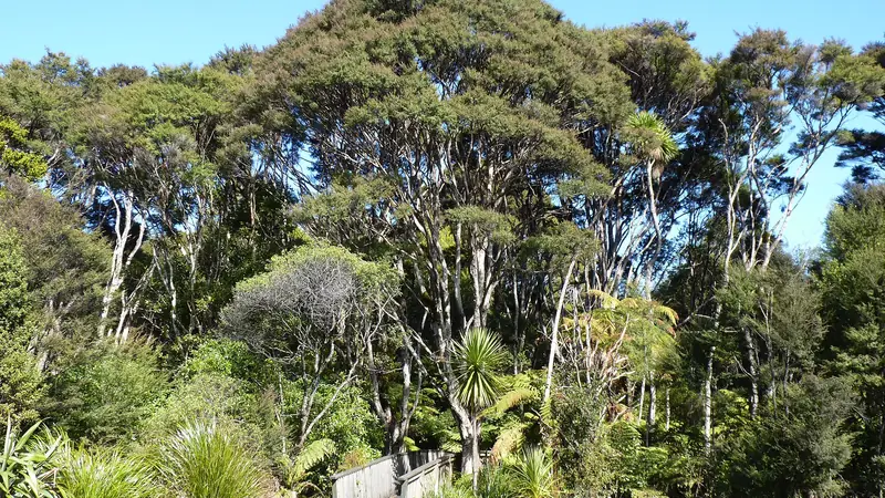
Kauri dieback attacks kauri trees and has no cure, according to Wikipedia. Spread is on shoes and soil, which is why closed tracks, track upgrades and cleaning stations exist. We cannot confirm the current cleaning-station rules from the council page, so follow the signs at each track.
The rāhui
Te Kawerau ā Maki, the local iwi, placed a rāhui over the Waitākere forest in December 2017 to stop further spread. A rāhui is a request to keep out, and respecting it is part of visiting well.
What you can do instead
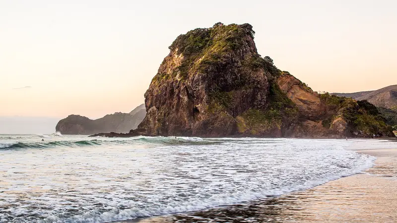
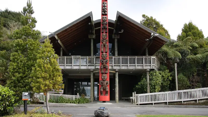
The coast is the usual answer: Piha and Karekare are beaches, and the Arataki Visitor Centre is a good first stop for current advice. Tours handle this for you, but read the itinerary on the activity page.
Plan the rest
If you are driving, see Auckland to the Waitākere Ranges. If you want to sleep nearby, see where to stay.
Frequently asked questions
Which Waitākere Ranges tracks are open?
We do not say. Check Auckland Council's open and closed tracks list, which the council updates as tracks reopen after upgrades. Some press reports in 2026 mention gradual reopenings, but the council list is the only source to trust on the day.
Why are the tracks closed?
To limit the spread of kauri dieback, a disease caused by an oomycete that stops kauri taking up nutrients. Wikipedia states there is no cure.
Can I walk on a closed track?
No. Closed tracks are enforced, and a rāhui placed by Te Kawerau ā Maki in December 2017 asks people to stay out of the forest. Choose an open track or a beach walk instead.
Some links are affiliate links: if you book through them we earn a small commission at no extra cost to you. It funds the research behind this site.