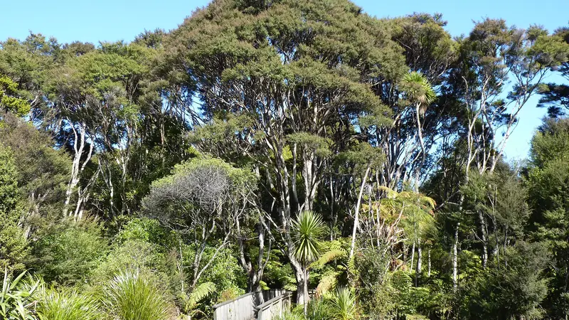
What the park is
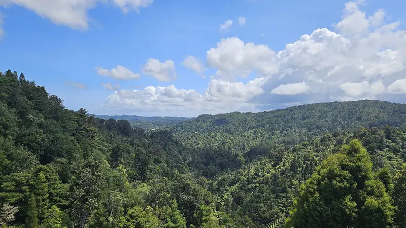
The Waitākere Ranges sit between metropolitan Auckland and the Tasman Sea. Wikipedia gives the highest point as Te Toiokawharu at 474 m, about 3 km north-east of Huia. Titirangi is linked to Waiatarua and Swanson by Scenic Drive, which runs along the eastern side.
The beaches
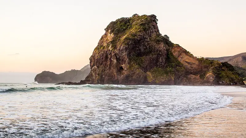
The four popular surf beaches named by Wikipedia are Piha, Muriwai, Te Henga (Bethells Beach) and Karekare. See our guides to Piha and Karekare. For the Muriwai gannet colony, see muriwaibeach.com.
The forest and its rules
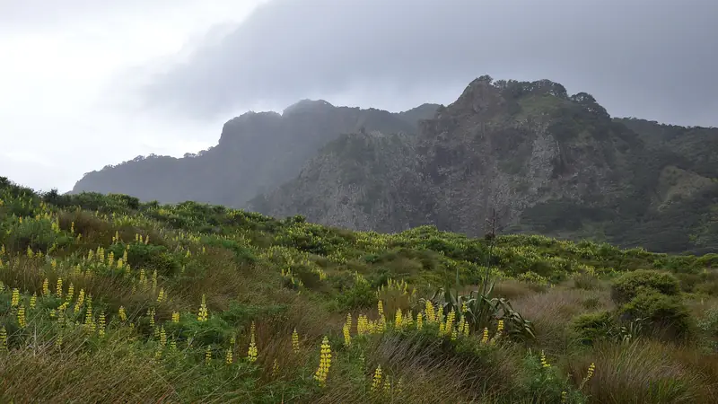
Forested areas were closed from 1 May 2018 to limit kauri dieback, with some exceptions, according to Wikipedia. Read how to check which tracks are open before you plan a walk.
The dams
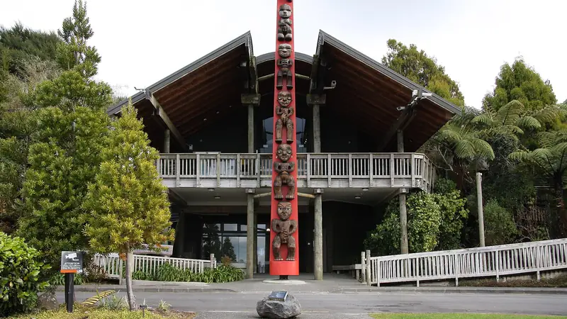
Five reservoirs supply roughly a quarter of Auckland’s drinking water (Wikipedia, about 26%). Lower Nihotupu Reservoir can be seen from the Arataki Visitor Centre.
Plan the trip
See Auckland to the Waitākere Ranges for getting there and where to stay.
Frequently asked questions
How big is the Waitākere Ranges?
Wikipedia gives some 27,720 hectares for the ranges, foothills and coasts together, of public and private land.
What are the dams?
The Waitākere Dam was completed in 1910, with Upper Nihotupu (1923), Huia (1929) and Lower Nihotupu (1948) following. Wikipedia says the five reservoirs supply approximately 26% of Auckland's potable water demand.
Some links are affiliate links: if you book through them we earn a small commission at no extra cost to you. It funds the research behind this site.